These photos are a couple weeks old at this point, taken on January 2nd at Monarch Pass by Hans Flinch, a good friend and soon-to-be Alaskan climbing partner. I’m usually behind the lens, so these are some of (if not the) best action shots of me skiing. Enjoy.
Great Start to a New Year
I hope all of you had as great a start to 2010 as I did. It started at the Plume Saloon, with a fairly small crowd but several friends, which is what really matters. Here are a couple photos from the evening, no in-depth descriptions necessary. Lauren and Hans:
Chris and Hans:
I felt pretty good the next day, Hans not so much:
Skiing with friends is the name of the game at Loveland:
Lauren shredding the gnar groomers:
The next day we daytripped to Monarch Pass for some great powder. Hans the rockstar:
Lauren loving the skin up:
The rime was beautiful:
And the skiing was a blast. Lauren enjoying the low-angle trees:

This was Lauren’s first time skiing powder, so she spent a lot of time “learning:”
At the bottom of the lap we did a rutschblock test to check the snowpack. It was terrible, but not unexpected. A light jump from a light guy was able to collapse the 8-12″ of basal facets, which means low-angle trees will be the name of the game for the rest of the season:
The drive back was miserable, and I missed 6″ of new snow and terrain at Loveland today, but at least I got to relax a bit, fix my dryer, and wax my skis. I have a feeling this will be a great year, and can’t wait to see what lies ahead.
2009
Yep, it’s finally over. In some ways it felt like it took forever, in others I can’t believe it’s time for a new year. All said, 2009 was a pretty decent year for me. I got serious about riding my bike to work (and hit over 95% at one point, which thanks to injury and fear of reinjury is back down to 75%), I ran a great half-marathon and finished an abysmal marathon, got out camping a few times, had some great ski days, made plenty of new friends, took some pretty decent photos from time to time, and had a few amazing days in the mountains. I’ve got quite a few plans for the next year, and can’t wait to see how it turns out.
One shot from Thanksgiving
Terrible Snow at Jones Pass
I went up to Jones Pass on Saturday for a little bit of exploration and skiing to burn off the stresses of the work week. Cast of characters, starting with Aaron:
When we met at the lots in Morrison for the ride up, there was a rather large group milling around. Just our luck, a CMC group decided to go up there as well (and if you’ve been reading a while, you might remember that the last time I went up with Aaron, we ran into a rather large CMC group).

They pulled in immediately behind us, so we got ready and got on the move ASAP.

After, oh, thirty minutes or so of skinning up an occasionally-dry road, we got to the main trailhead, and were greatly disappointed with what we found, especially since Butler Gulch (which is RIGHT THERE and at lower elevation was so good last week before the most recent storm).

So further along the road we went, in search of higher elevations and more snow. We found more snow, but not by much.

If you look closely, you can see the elevator shaft to the Henderson Mine, which goes down roughly a mile.

After a rest break and a little bit of sun exposure and heating, the snow got terrible for climbing. It rapidly softened, to the point that skinning or edging was impossible, with the top few inches sliding off an extremely hard layer underneath, hard to the point that my new BCA snow saw was having trouble with it.

Onward and upward we went, to the Continental Divide at roughly 12,400′. It was windy but the temps were pretty nice. There are no photos of the skiing because it was absolutely terrible. Variable soft/breakable crust all the way down to the road, then the road was narrow, bumpy, frozen hardpack with intermittent dirt and rock patches. Oh well, still a good day out, and a good warmup for the season. We’ll end with a parting shot from the Divide:
Unwanted Bike Lanes
This past Wednesday night, I was on the B-12 (ie 12th Ave) route headed in the direction of downtown when I came across a disaster of a bike lane. It started just West of Colorado Blvd. at Madison, and ended toward the top of the hill, at Clayton. This used to be an amazing section to bike through, thanks to big wide lanes, plenty of other cyclists, and a general sense that bikes belong there.
That’s changed, thanks to a relatively new (sometime within the past couple of weeks), unwanted, ice-filled door-zone bike lane. Whoever is responsible for this bike lane is sending a message that bikes don’t belong, and that they should stay out of the way of “real” traffic, even (especially?) if that means being in an extremely dangerous part of the road.
BikeDenver celebrated this as one of 12 new bike lanes announced by Hickenlooper in June. With friends like these, who needs enemies?
Butler Gulch
After some discussion, I went up to Butler Gulch yesterday morning for a quick tour. The cast of characters included the following:
Larry, tele-skier extraordinaire

Lindsay (red) and Bella (dog) (Larry is in Orange):

The plan was to go up a little ways, do a little exploration, and get a few nice turns in. Beautiful.

A couple hours later, we topped out for the day. We didn’t go much higher due to time and also avalanche risks. Any higher and the slope steepened up, and the trees cleared out. Given October’s avalanche record, I’m very cautious right now. We de-skinned, and I took off to enjoy some turns and get set up for taking some shots. Unfortunately, there was a tele-binding issue which held things up a bit.

Finally, everything was set. Larry killing it:

Lindsay and Bella having a blast:

Coverage wasn’t awesome. I sustained a little bit of damage, Hans took nothing, and Travice had a nice big core shot from it all. Oops.
And here are a couple artsy-style photos, since it was just so damn beautiful up there.


Yesterday was my second day skiing, and first day in the backcountry for the year. And it was a blast.
Geohashing Pendleton Mountain
First, I would like to thank xkcd for coming up with a phenomenal Spontaneous Adventure Generator. For those who would like details on how it works, look here; for those who just want the gist, it basically takes your location, the date, and the value of the Dow Jones Industrial Average at its most recent opening, encodes the values, and then converts that to new coordinates. This means that for every single day, you’ll get a randomized location that’s reasonably close to you, and with the exception of weekends, there’s no way to know where it is in advance.
Yesterday morning I saw this post, which led to research, and which led further to realizing that geohashing is a legitimate way to kill some time, and that there are tools out there to make it easier to determine the day’s location. I found that West Denver’s location for today (Denver is split into two major areas because of the way the process works) was about 5 minutes from the top of a mountain. This mountain turns out to be called Pendleton, and there is zero information about it out there, which isn’t surprising since it’s “only” at 12,275′. If there’s one thing I’ve learned in CO, it’s that once you get down below 14,000′, no one seems to care anymore. After hours of planning, I found a route that would work, though no trail was expected. I was able to convince Nate to come along for this boondoggle, and picked him up at 7am.
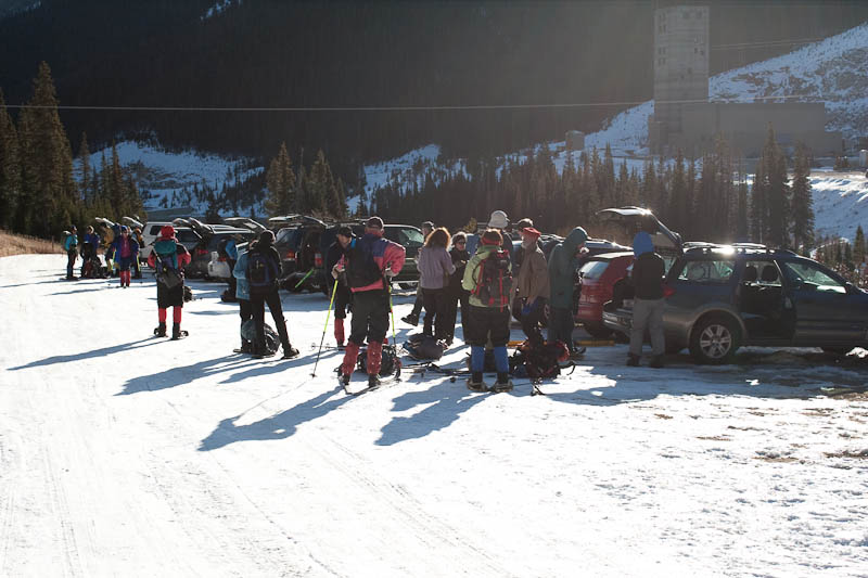
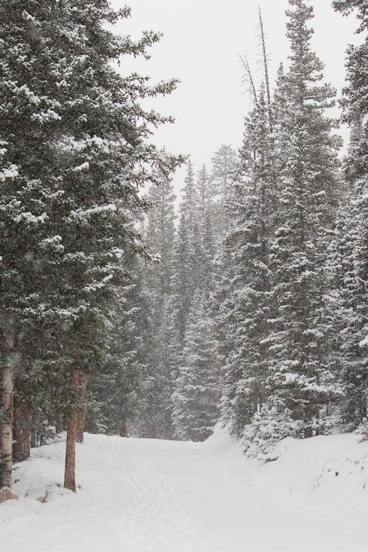
An hour and a half later, we were starting from Guanella Pass Road, a few miles from the road closure (which has been closed for several months now, due to a rock slide). This is the view from the car, with nary a trail or road in sight.

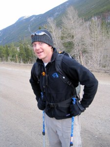
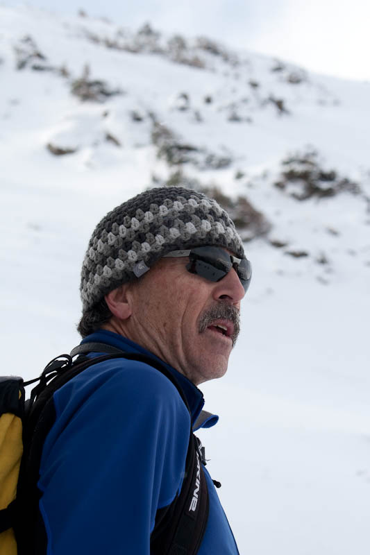
Nate was characteristically excited to get started.

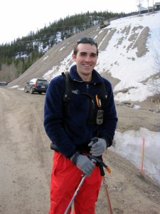
I was just glad to be out in the mountains. There’s not much like a mountain boondoggle to clear your head.

For a while we were practically crawling, as it was steep, fairly loose, and full of underbrush.

It made for some decent photos at least.

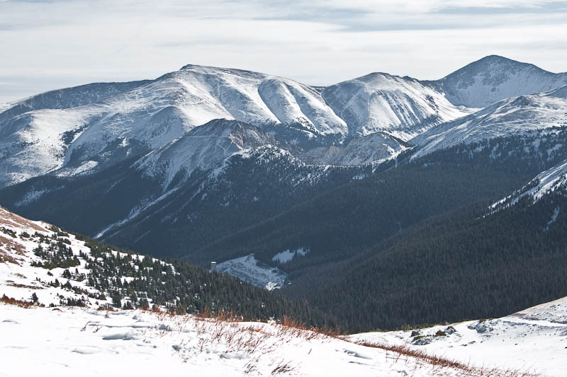
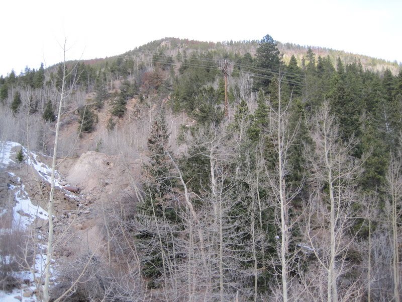
Eventually things started to open up a little, though not entirely.

This pipe was riveted together from sheet metal. Unreal.

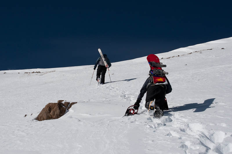
After more trudging through the snow and downed trees, we at last hit treeline.

My GPS’ compass was acting weird, which led to a bit of meandering through the alpine tundra.

At long last, the point was reached. Note that the elevation shown is off; the correct elevation is roughly 12,135′.
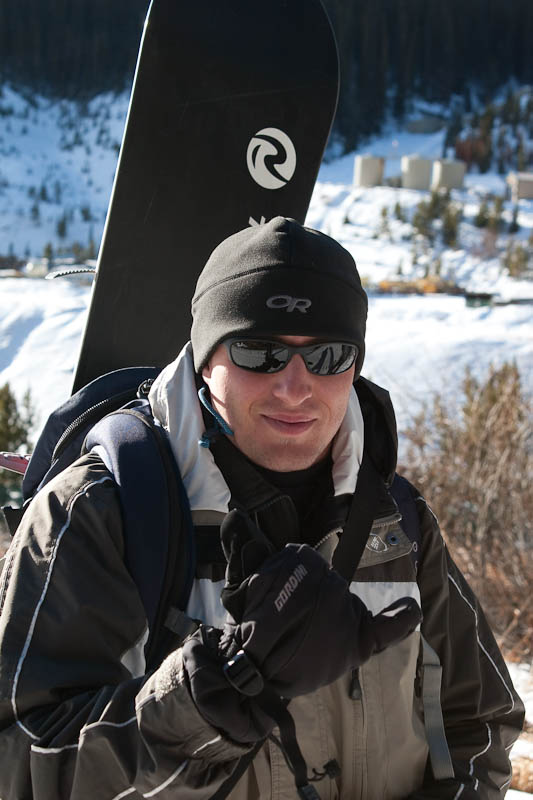
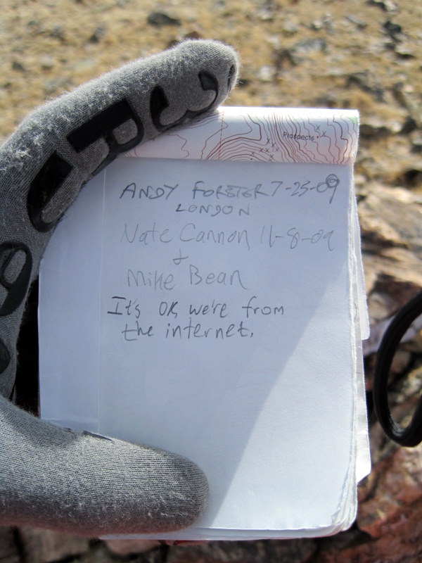
The summit of Pendleton Mountain was only a few hundred feet away, so off we went; and a minute or two later, we were there. The register was much like the one I found on Mount Goliath a few years ago, a simple mason jar left by Gerry Roach. This one was left in 2006, with fewer than 10 people checking in since.

It’s ok, we’re from the internet.

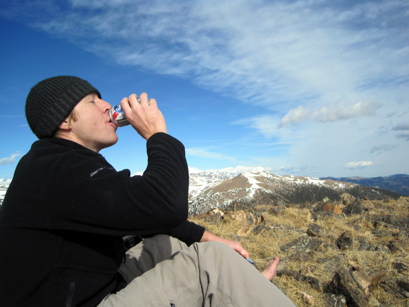
America’s finest beer, two non-consecutive years over a spread of 114 years.

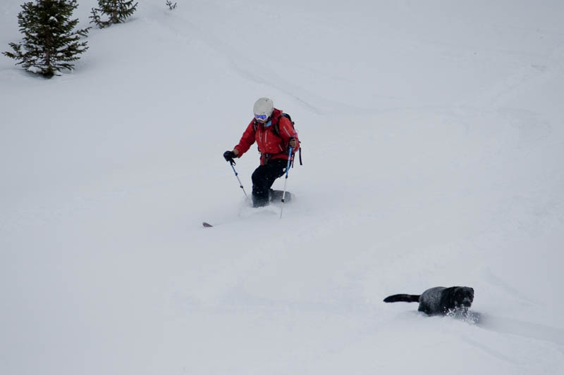
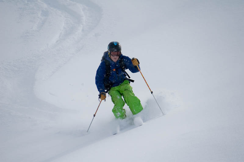
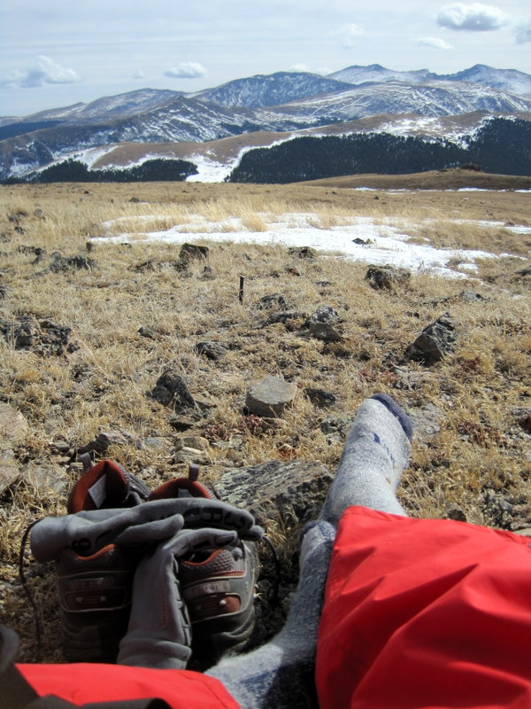
I can say with near-certainty that no one has ever had pants as bright as mine on this mountain.

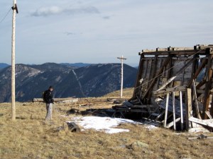
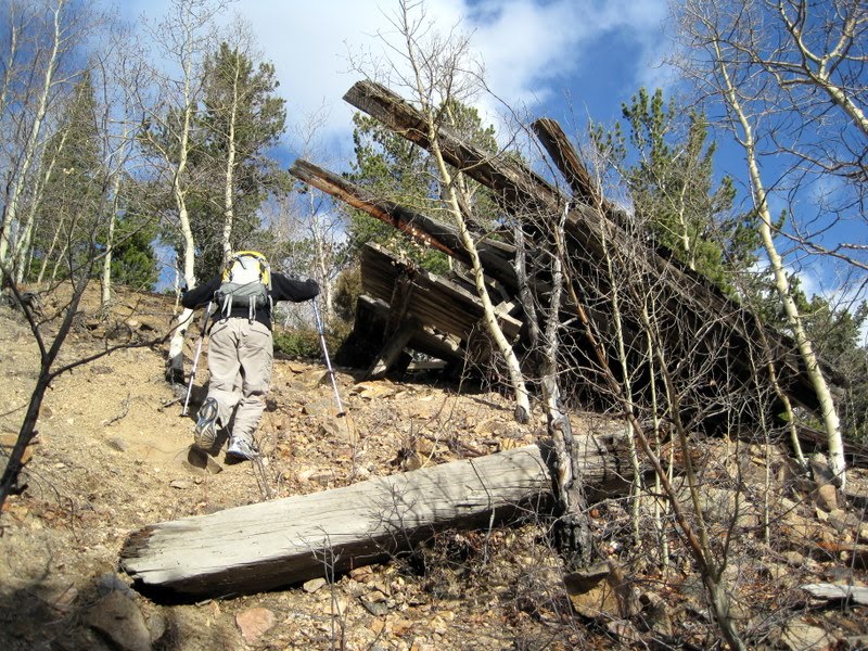
What separates cool, historic structures from old crap? If it’s fallen down, it’s old crap.

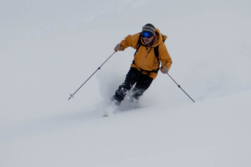
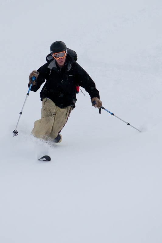
There are apparently no photos from much farther down, as we were just wanting to get down and back to the car. We followed a trail for a while, but eventually had to bushwhack down the steep, loose crap that we had to fight our way up through. It certainly was a boondoggle, but what an adventure!
Denver Zombie Crawl 2009
This past Saturday was the Denver Zombie Crawl on the 16th St. Mall. Fortunately, one of Brian’s friends is a makeup artist, and was able to do us up properly.


Part of the horde of thousands. Apparently the record was set (which would’ve required over 4,000 people), though I don’t know the total number. The organizers were also hit with plenty of fines, probably for obstructing buses and getting fake blood over everything.
First Ascent Launch Party
As some of you may know, Eddie Bauer is launching a new product line called First Ascent that brings them back to the technical side of things. They’re doing launch parties across the country with the guides involved in the design, all of which are involved with RMI. It was essentially a short (10 minutes perhaps) pitch about the gear, followed by an hour of Q&A with Jim Whittaker, Peter Whittaker, Dave Hahn, and a couple more RMI guides. The gear looks great, though the shells are definitely designed with more of a bent towards climbing than skiing (a little more length would be nice) but otherwise solid-looking equipment at very reasonable prices. It was great talking to a couple of the world’s premier climbing guides about gear and strategery, and I got a photo with Jim Whittaker, first American to summit Everest:


