Yesterday kicked off this year’s 14er season for me with Mt. Elbert; I’ve set a goal of skiing 10 new-to-me 14ers and after yesterday, I only have to do nine more. Of course, it’s so enjoyable (I wouldn’t say “fun” is the right word for it) that I may go over. Time will tell I suppose. Here’s the track (blue is ascent, red is descent; approximately 6 miles and 5,000′ vertical each way):
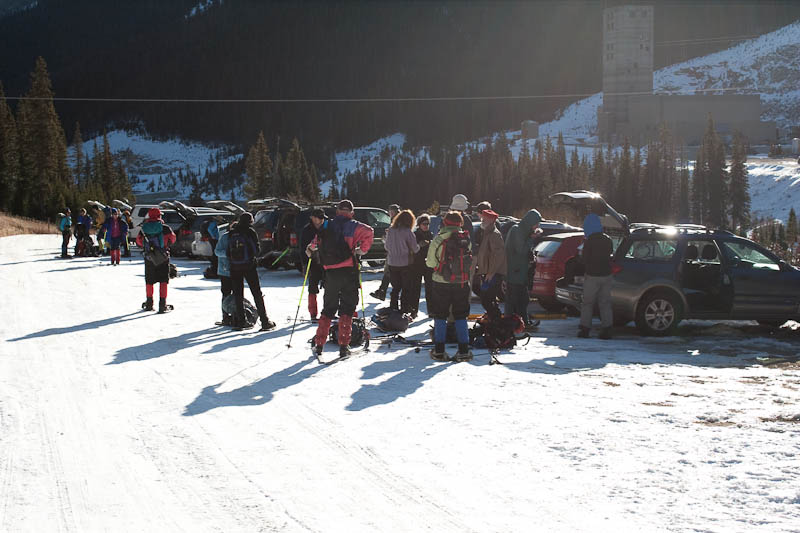
 Yesterday at 3:59am both Nate and I were sound asleep on the floor in the back of the luxurious Silver Plume Saloon. At 4:00 sharp, the alarms went off and it was time to get moving. A couple hours later we would pull into the parking lot for the South Mt Elbert Trailhead to single-digit temperatures. No time was wasted getting skinned up, and we were moving just before 7am.
 Winds were almost nonexistent before getting in the trees, and were completely calm in them.
 It was a tough temperature balance, as I had dressed for the forecast, with a high of nearly 40F and no wind. It was too warm for a shell while blazing through the trees, but a little chilly for just a t-shirt.
 Surface hoar had grown everywhere, and the snow was sparkling brilliantly (though I seem to have failed capturing it in this photo).
 After two miles along a snow-covered 4WD road, we reached the summer trailhead. There’s a small bridge here that seems to be in every TR along this trail; I’m not sure why, but here’s the mandatory bridge:
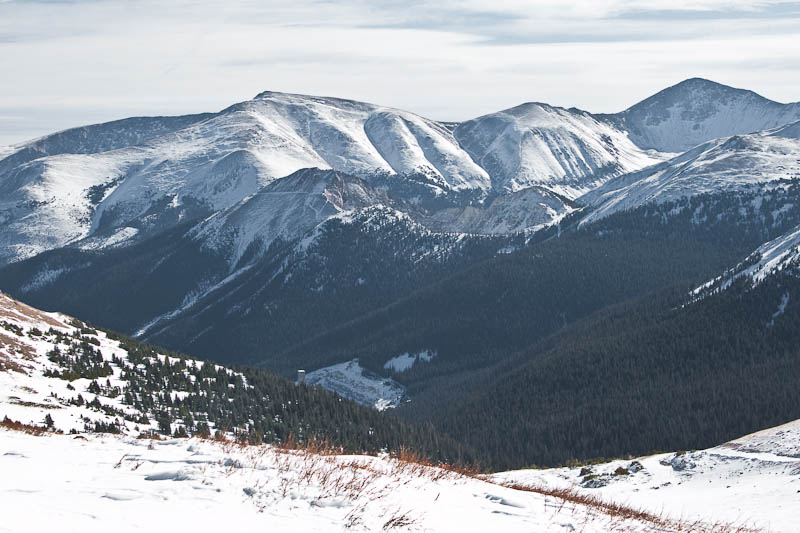
 A couple more miles and we were at treeline, with most of the rest of the route in view.
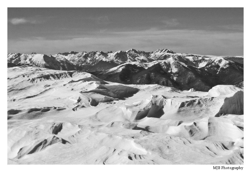
 Without any recent reports from this route, I was slightly concerned about snow coverage for the descent. This view made me pretty happy. There’s really nothing technical about this mountain, mostly skinning with a little booting over rock at times.
 That doesn’t mean the views weren’t spectacular at times though.
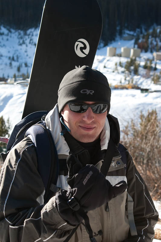
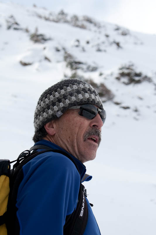
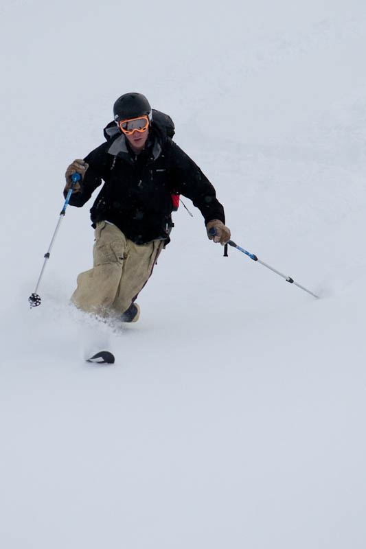
 Here I am, smiling for some reason.
 Box Creek Chutes is the classic descent route on Elbert, and coverage is looking pretty decent.
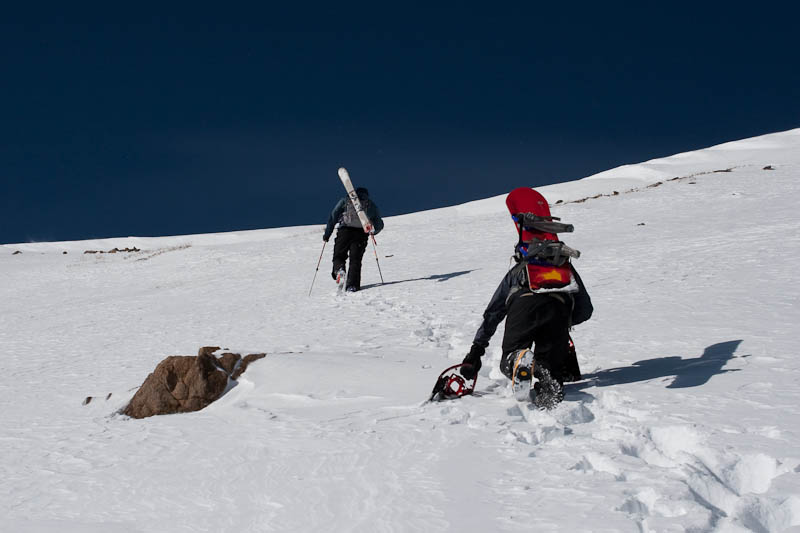
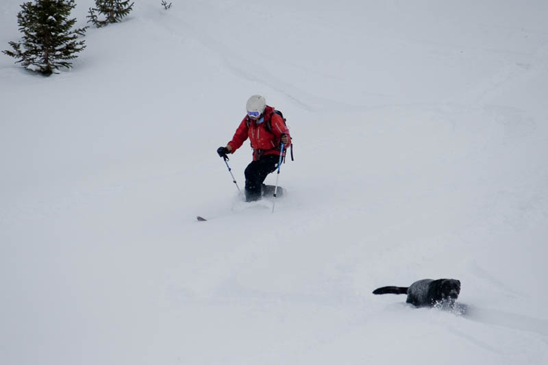
 We were considering that as a descent option; unfortunately some wind and clouds rolled in as we were nearing the top, and I expect the snow would’ve been rock hard and unenjoyable. There’s a good chance I’ll be back later this spring to hit Box Creek. There was a group of four Nebraskans who went up on Thursday and camped at treeline for two nights before going for the summit. I’m not sure when they started yesterday, but here they are coming down from the summit. Nate and I had another half hour or so from this point. The Nebraskan on the right looks rather nonplussed.
 It was about this point that things became significantly more challenging; the air was getting thin and the mercury was dropping. I started employing my standard step-counting technique to keep myself moving at a reasonable pace. I would lead off, take 30 or 40 steps, stop, and breathe. Then Nate would cover the same distance, we’d point at the next false summit, say “five more sets, that’s the summit.” When I saw the final false summit I told Nate not to get too dismayed when we hit that point. We got there, saw the real summit 200′ above us, confirmed with the GPS how close we were, and I called one more set of 5 (which actually turned out to be accurate this time). After an hour of high intensity interval training at 14,000′, we reached the top.
 We were both pretty tired from the climb, and instead of 40F, clear, and calm, it was probably in the 20s, overcast, and breezy. I asked Nate if he would mind not staying on top very long; turns out he had the same sentiment and was ready to strap in and go.
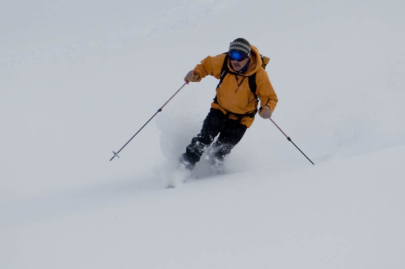
 Since snowboarding is clearly the most efficient method of backcountry travel, Nate kept a pole out to help him keep moving along flat spots.
 We had a decent ride down the east ridge, picking our way through the rocks. Coverage was pretty good, as I only had to take off my skis for one short section, although I did do a bit of billygoating through sparser sections. It was a mix of soft sastrugi, rockhard windslab, and difficult (but manageable) breakable crust. Nate would later remark that he’d never turned into snow like that. I shot back, “you still haven’t.” We didn’t stop to take photos on the way down, as it was pretty straight forward and uninteresting. The aspens at the bottom were brutally tight, and I was wishing for the relative openness of the NE ridge’s runout. An hour and fifteen minutes after leaving the top (a mere fifth of the time spent on the ascent) we were back to the parking lot. Exhausted, we threw everything back in the car, had a beer, and were off.
 I’m not sure what’s next, but there are quite a few options and I’ve got a project to work on.